
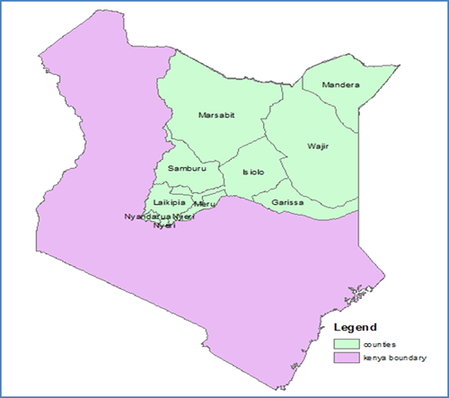
The Authority covers the whole drainage basin 5, the Ewaso Ng’iro North river basin from the upper catchment areas of Mt. Kenya, Nyambene hills and Aberdare Ranges to the lower catchment regions of Garissa, Wajir, Moyale and Mandera, which, is roughly delineated by latitudes 0.5o S and 4.5o N of the equator and longitudes 36.5o E and 41oE.The Authority’s area of jurisdiction is approximately 209,576 km2 which is equivalent to 36% percent of the total Kenya’s area and spreads across 10 counties of Nyeri, Nyandarua, Laikipia, Meru, Isiolo(Central Region) Marsabit, Samburu(Upper Eastern Region) Wajir, Mandera and Garissa(North Eastern Region)